News
UK set for ‘worst snowstorm in 14 years’ with week-long big freeze
The Met Office has issued a yellow weather warning for ice

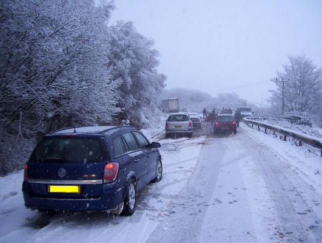
The UK is preparing for a ‘major deep freeze’ as a snowstorm is set to hit the country next week.
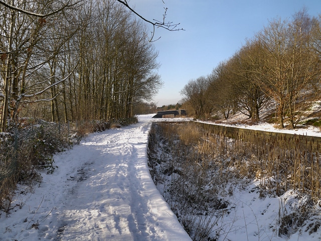
As temperatures have noticeably begun to plummet, forecasters say ‘anywhere could see snow’. According to Exacta Weather, temperatures could dip as low as -15C in some areas over the coming week.
Exacta Weather forecaster James Madden told GB News: “Over the next few weeks, there will be a high chance of snow with the risk higher than the same period over the past few years or indeed, since the big freeze of 2010.

“It is likely we are about to start seeing images of vast regions of the nation covered in snow during a cold spell which is likely to hold out for an extended period.


“As well as the risk of snow, we will see harsh overnight frosts and the coldest temperatures dipping as low as -15C in the coldest parts of the country over the coming week.”
According to advanced weather modelling maps, WXCharts show the cold snap is set to continue into next week, with more snow expected from Sunday in Scotland.

Higher ground including Brecon Beacons and Cairngorms National Park could see 40cm of snow by Sunday, January 21st.
Elsewhere, the North of England could see a covering of 11cm, Wales around 8cm and the Midlands could see about 6cm of snow settling on the ground.
The Met Office said: “Temperatures will remain cold, and a marked wind chill especially in the north.
“There is risk of unsettled weather pushing in from the south through this period, which could lead to a band of snow and sleet where it meets the colder air across the country.”
“We start with a northerly airflow and snow showers, especially near the coasts in the north,” Met Office meteorologist Aidan McGivern said.
Adding: “But there will also be brighter skies for some. Then, from the middle of next week, low pressure tries to move in from the southwest, and the impact of this is still a bit uncertain at this range.
“Different models are saying different things in terms of the track of this low, but you have the ingredients for snow with cold air in place and additional moisture supplied from the Atlantic, which will bring rain, but on the boundary with the cold air, you could see some snow.”